Figure:Map of USA States with names white.svg

Dimensioni di questa anteprima PNG per questo file SVG: 512 × 322 pixels. Altris risoluzions: 320 × 201 pixels | 640 × 403 pixels | 1 024 × 644 pixels | 1 280 × 805 pixels | 2 560 × 1 610 pixels.
Risoluzion plene (file tal formât SVG, dimensions nominâls 512 × 322 pixels, dimensions dal file: 202 KB)
Descrizion
| Descrizion |
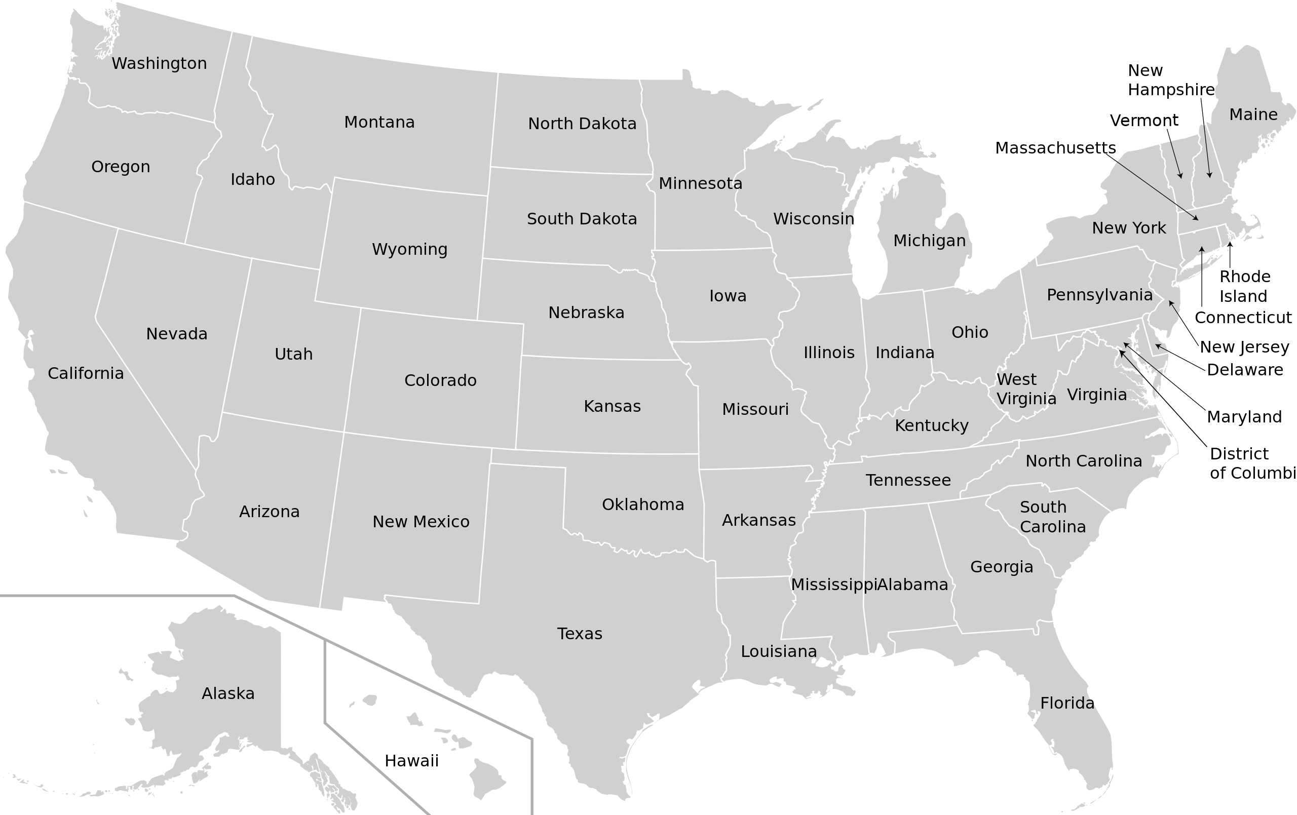
English: Map Of USA With Names Of States |
| Date | |
| Sorzint | w:en:Wikipedia talk:Images for upload/svg/USA-states-blank-XMLcomments-SVGnameIDs-CSSfillCLASSes.svg |
| Autôr | Gigillo83, original of 70.29.208.129 |
| Permès (Torne a doprâ chest file) |
Wikipedia talk:Images for upload/svg/USA-states-blank-XMLcomments-SVGnameIDs-CSSfillCLASSes.svg |
Licence pal ûs
Io, detentore del copyright su quest'opera, dichiaro di pubblicarla con le seguenti licenze:

|
Tu puedis copiâ, distribuî e/o modificâ chest document su la fonde de licence GNU Free Documentation License, Version 1.2 o seguitivis pubblicadis de Free Software Foundation; sence nissune sezion no modificabil, sence un testo di copertine e sence un test di quarte di copertine. Una copie de licence si ciate inte sezion intitulade Testo della GNU Free Documentation License. |
Questo file è licenziato in base ai termini delle licenze Creative Commons Attribuzione-Condividi allo stesso modo 4.0 Internazionale, 3.0 Unported, 2.5 Generico, 2.0 Generico e 1.0 Generico
- Tu sês libar/libare
- di condividi – di copiâ, distribuî e trasmeti il lavôr
- di modificâ – di adatâ il lavôr
- A lis cundizions seguitivis
- Atribuzion – Tu âs di dâ lis informazions adeguadis sul autôr, un leam ae licence e dî se a son stâts cambiaments. Tu puedis fâ chest in cualsisei mût rasonevul, ma no in maniere di fâ pensâ che e avaledin te o la maniere che tu dopris la opare.
- condivît inte stesse maniere – Se tu modifichis, cambiis o tu amplis il materiâl, tu scugnis distribuî i tiei contribûts in base ae stesse licence o compatibil cul origjinâl.
Tu puedis sielzi la licence che tu preferissis
Storic dal file
Frache suntune date/ore par viodi il file cemût che al jere in chel moment.
| Date/Ore | Miniature | Dimensions | Utent | Coment | |
|---|---|---|---|---|---|
| atuâl | 14 di Avr 2022 a lis 05:37 | | 512 × 322 (202 KB) | Szmenderowiecki | Changes in render (better map based on File:Blank_US_Map_(states_only)_2.svg |
| 14 di Set 2018 a lis 18:50 |  | 981 × 589 (478 KB) | Kbh3rd | Changed id for path of Missouri from "path57" to "Missouri" in the same manner as all the other states. No change to rendering. | |
| 6 di Avo 2010 a lis 14:12 |  | 981 × 589 (478 KB) | Gigillo83 | Adjusting arrows | |
| 5 di Avo 2010 a lis 19:57 |  | 981 × 589 (494 KB) | Gigillo83 | Category:SVG maps of the United States == {{int:filedesc}} == {{Information |Description={{en| map of USA with names of States }} |Source=w:en:Wikipedia talk:Images for upload/svg/USA-states-blank-XMLcomments-SVGnameIDs-CSSfillCLASSes.svg |Autho |
_2.svg)
Ûs dal file
Lis vôs ca sot a son leadis a cheste figure:
ûs globâl dal file
Chestis altris vichis a doprin chest file:
- Ûs in ar.wikipedia.org
- Ûs in azb.wikipedia.org
- Ûs in az.wikipedia.org
- Ûs in ban.wikipedia.org
- Ûs in ckb.wikipedia.org
- Ûs in el.wikipedia.org
- Ûs in eml.wikipedia.org
- Ûs in en.wikipedia.org
- Ûs in hif.wikipedia.org
- Ûs in hi.wikipedia.org
- Ûs in id.wikipedia.org
- Ûs in ilo.wikipedia.org
- Ûs in it.wikipedia.org
- Ûs in ja.wikipedia.org
- Ûs in ja.wikivoyage.org
- Ûs in jbo.wikipedia.org
Mostrel'ûs globâl di chest file.